Introduction
Southwestern Ontario is catching its breath after a turbulent mid-week snowstorm, but forecasters warn that the break will be short-lived. Roads across the London region continue to be cleared as municipal crews work around the clock to push back heavy accumulations left behind by Wednesday’s system. While snowfall has tapered off for most areas, meteorologists caution that another round is already forming—and it will arrive sooner than many residents may hope.
According to CTV London Meteorologist Julie Atchison, a new blast of wintry weather is expected to move in with an approaching cold front late Friday and into early Saturday. Although some sunshine will briefly return before conditions deteriorate again, the region remains firmly in winter’s grip, with temperatures staying well below seasonal norms.
This detailed breakdown outlines what London-area residents can expect in the coming days, how the weather pattern is shifting, and what impacts may follow as temperatures fluctuate and active weather systems pass through.
A Short-Lived Break After a Heavy Snowfall
Snow Cleanup Continues Across the Region
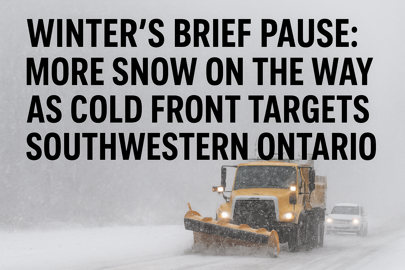
Wednesday’s significant snowfall left roads blanketed across London and surrounding communities. Snowplow crews have been working continuously since the storm’s arrival, clearing priority routes before moving into residential areas. With some districts reporting substantial accumulation, city officials have urged drivers to use caution and give crews room to work.
While most regions saw the snowfall diminish by early Thursday, northern areas, especially those closer to Georgian Bay, continued to face persistent flurries.
A Stubborn Squall on the Bruce Peninsula
Atchison highlighted one particular area that remained under the influence of a lingering snow squall.
“There is one persistent snow squall that has been moving through,” she explained. “It will drift southward towards the northern part of Grey County as we head into the late afternoon.”
Snow squalls—common in Ontario during early winter—can produce sudden whiteout conditions, intense bursts of snow, and rapidly shifting visibility. Although Thursday’s squall was expected to gradually weaken, its presence underscored the region’s ongoing vulnerability to localized, lake-driven snowfall.
Another Round of Snow Approaches
Cold Front Expected to Push Through Saturday
Despite the temporary lull, Atchison warned that the wintry weather pattern is far from over.
“We’re not done with the snow yet,” she cautioned. “[There is] another round of snow coming in, but this one will arrive overnight into Saturday morning.”
The incoming snow is tied to a cold front sweeping across southwestern Ontario. Cold fronts in winter frequently bring cloud cover, sudden temperature drops, and fresh snow bands. As this front moves through, London and surrounding communities will once again wake to slippery roads, gusty winds, and reduced visibility.
Temperatures Staying Below Seasonal Norms
The arrival of the cold front will maintain temperatures significantly below seasonal averages. While mid-December typically brings daytime highs near or slightly below freezing, the region is expected to remain several degrees colder in the coming days.
“The forecast highs will remain well below seasonal, with chilly winds,” Atchison said.
However, she also noted that early next week may offer modest relief.
“I mentioned some peaks of sunshine today that will be nice. And then Friday night, the clouds move back in with a chance for snow overnight into Saturday,” she added. “We will see temperatures rebound early next week, but that could lead to a rain-snow mix Wednesday into Thursday with daytime highs set to climb back above freezing between three and four degrees.”
This anticipated warmup may bring its own challenges. Rising temperatures paired with lingering snow can lead to mixed precipitation events, slushy road conditions, and icy surfaces when temperatures drop again overnight.
What to Expect in the Days Ahead
Friday: Brief Sunshine Before Clouds Return
London-area residents will experience a temporary break from the persistent cloud cover on Friday. According to the forecast:
-
Daytime: A mix of sun and cloud is expected. Winds will shift to the west at 20 km/h near noon, bringing a brisk chill. The high is forecast at –3°C, but wind chill values will make it feel closer to –13°C in the morning and –6°C in the afternoon.
-
Evening: Skies will turn mainly cloudy, with a 40% chance of flurries developing overnight. Winds will become southwest at 20 km/h before morning. Temperatures will drop to –8°C, then rise gradually to –4°C by morning, with a wind chill near –13°C in the evening.
Although snowfall is not guaranteed for Friday night, conditions will remain cold, and road surfaces may quickly become slick.
Saturday: Cloudy With More Flurries Possible
Saturday brings the next wave of unsettled weather. With the cold front pushing through, the region will see:
-
Cloudy skies with a 40% chance of flurries
-
A daytime high near –5°C
-
Brisk winds contributing to a deeper chill
The return of flurries could further impact road conditions, particularly during the morning hours when many residents may be heading out for weekend activities.
Sunday: Increased Chance of Flurries
Sunday continues the trend of cold, cloudy weather. Environment Canada is calling for:
-
Cloudy skies
-
A 60% chance of flurries
-
A high of –7°C
The combination of cold temperatures and repeated flurry events may lead to accumulating snow in some parts of the region, although widespread heavy snowfall is not anticipated.
Monday: Snow Likely as Pattern Persists
Monday marks yet another day of wintery conditions:
-
Cloudy with a 60% chance of snow
-
High temperature near –7°C
By early next week, the region will be almost a full week into a cold and active weather pattern dominated by cloud cover and intermittent snow. While conditions may ease somewhat mid-week, the overall outlook suggests that winter’s influence is only strengthening.
Looking Ahead: A Potential Mid-Week Mix
Although temperatures are forecast to rise above freezing between Wednesday and Thursday, this warming trend could generate new concerns. Warmer air overrunning cold ground surfaces often leads to a rain-snow mix—an unpredictable combination that can cause patchy ice, slush buildup, and reduced visibility.
While it is too early to determine precise accumulation amounts, Atchison warns that residents should be prepared for rapidly changing conditions by mid-week. Commuters, in particular, may encounter slippery roads during morning and evening travel periods.
Conclusion: Winter Weather Pattern Well Established
As southwestern Ontario navigates December’s first major stretch of winter weather, the overall pattern suggests that more snow and sub-seasonal cold are on the way. After a brief reprieve, another band of snow is poised to move through the region overnight into Saturday. Persistent cloud cover, chilly winds, and additional flurry chances will dominate the forecast through early next week.
While a slight warming trend may bring temporary relief, it also sets the stage for a potential mix of rain and snow, complicating mid-week travel and road maintenance efforts. For now, residents are encouraged to stay alert, monitor local forecasts, and prepare for ongoing winter driving conditions as the season continues to unfold.


